Strong surface winds with speed ranging from 15 to 25 kmph are expected over the plains of Northwest India in the next three days, according to the India Meteorological Department (IMD).
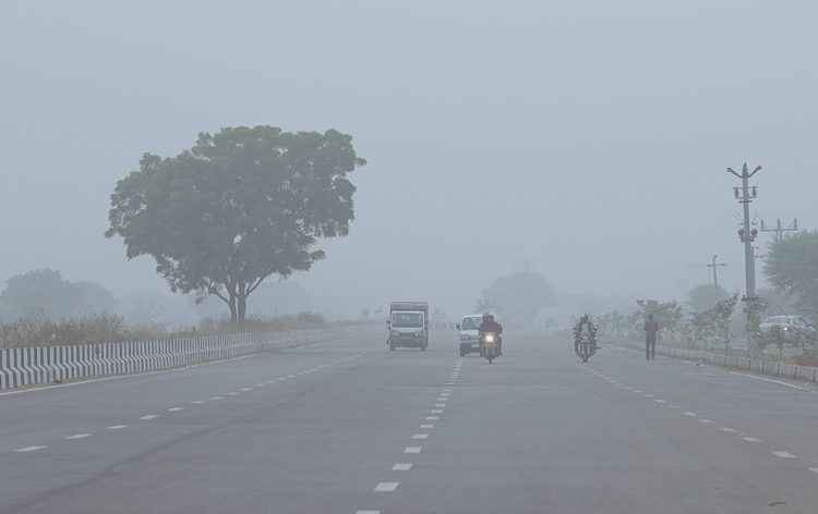
Additionally, dense fog conditions are likely to persist in the morning hours in isolated pockets of north Madhya Pradesh, Bihar, sub-Himalayan West Bengal, Sikkim, and Odisha on Feb 7, and over Assam, Meghalaya, Mizoram and Tripura on Feb 8 and 9.
IMD has issued a yellow alert for cold wave conditions in the states of Himachal Pradesh, Punjab, and Haryana on the Feb 7, and for fog in the northeastern states on the Feb 7 and 8.
Cold wave conditions are expected in isolated pockets over Himachal Pradesh, Punjab, and Haryana-Chandigarh-Delhi on February 6 and 7. Minimum temperatures are likely to decrease by 2-3°C over many parts of northwest, east, and central India during the next three days, with no significant change thereafter.
Moreover, a cyclonic circulation lies over Sub-Himalayan West Bengal and its neighborhood in lower tropospheric levels. Light to moderate scattered to fairly widespread rainfall/snowfall is anticipated over Arunachal Pradesh and isolated to scattered rainfall over Sub-Himalayan West Bengal & Sikkim, Assam & Meghalaya, and Nagaland, Mizoram, Manipur and Tripura on Feb 6 and 7, and over Gangetic West Bengal, Jharkhand on Feb 6.
Isolated thunderstorms are also likely over Arunachal Pradesh, Assam & Meghalaya, and Nagaland on Feb 6.
Under the influence of a trough over Peninsular India, isolated to scattered light rainfall activity is expected over North Peninsular India during Feb 9-11, as per the IMD’s weather bulletin.