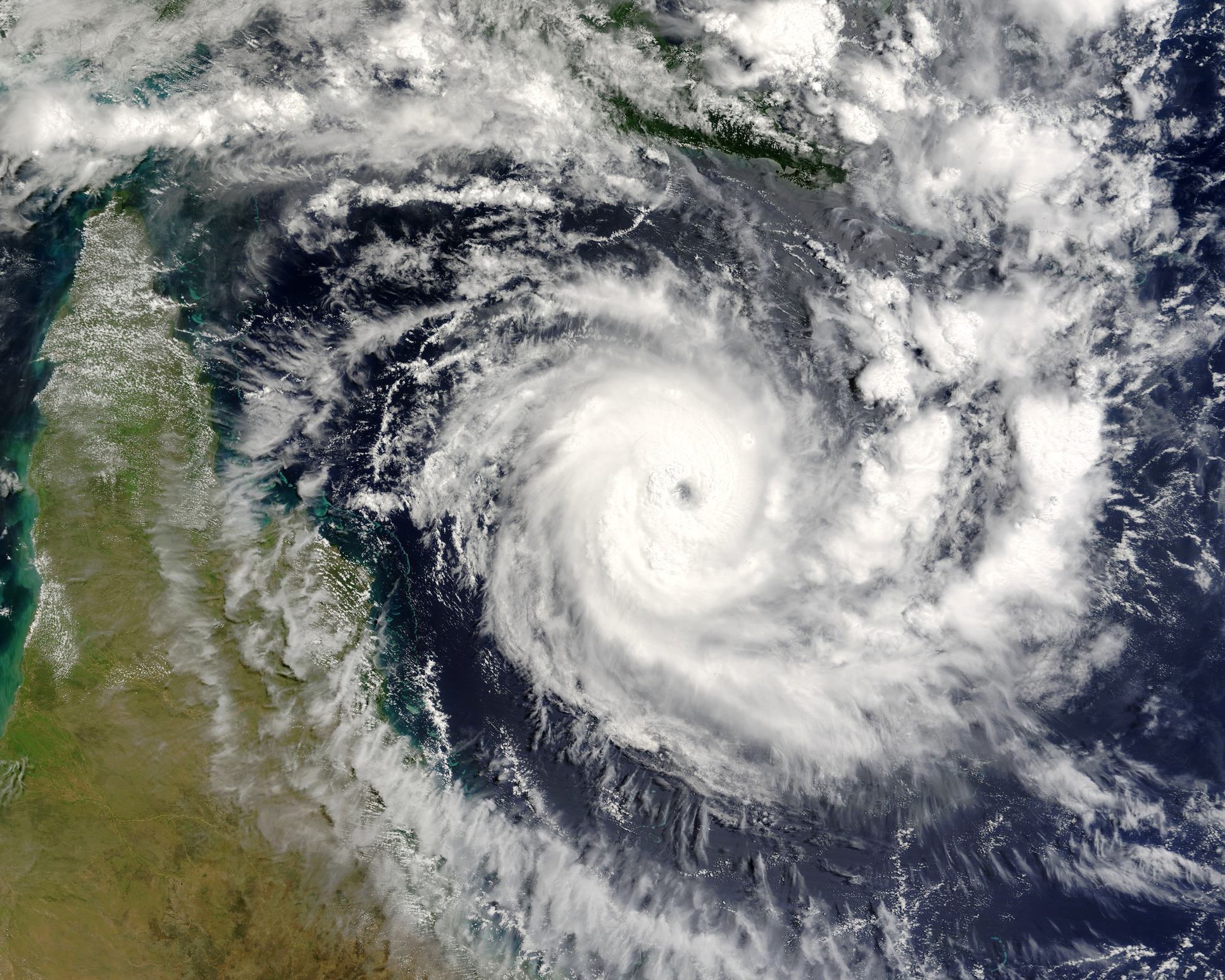
Heavy to very heavy rainfall, accompanied by strong winds is likely to lash West Bengal and coastal areas of North Odisha under the influence of Cyclone ‘Remal’ which is predicted to form over the east-central Bay of Bengal by May 25, according to the India Meteorological Department (IMD).
Director General of Meteorology, IMD, Mrutyunjay Mohapatra, said, “Today morning, a depression developed in the Bay of Bengal. It has slowly started moving in north to north-east directions. As it starts moving northwards tomorrow, it will intensify and develop into a cyclone storm tomorrow morning. And by tomorrow night, it will develop into a severe cyclonic storm.”
“By the midnight of 26 May, it will hit coastal areas of West Bengal when the wind speed will be 110-120 kmph. The wind speed is expected to be higher in Bangladesh. In the North and South 24 Parganas and East Medinipur districts of West Bengal wind speed will be highest,” he said.
“As a result, light to moderate rainfall will begin tomorrow. On 26-27 May, in addition to heavy to very heavy rainfall in West Bengal, extremely heavy rainfall is also expected. Coastal areas of North Odisha can witness isolated heavy rainfall and the kind speed will be 40-50 kmph. Rainfall will lash all the northeastern states and there is extreme rainfall warning in some areas,” added Mohapatra.
Meanwhile, earlier in the day, ‘Storm Warning Cage 1’ was mounted at the Pampan port in Tamil Nadu’s Rameswaram to warn the fishermen about the danger of upcoming storms due to Cyclone Remal.
The India Meteorological Department (IMD) has predicted the creation of a depression in the Bay of Bengal due to the low-pressure area formation and flagged the possibility of its intensification.
The IMD has warned fishermen not to venture out into the sea and those out at sea to come back to the coast before May 23.
According to the IMD, under the influence of yesterday’s cyclonic circulation over the Southwest Bay of Bengal, a low-pressure area has formed over the Southwest and adjoining West-central Bay of Bengal and persisted over the same region as of today.
It is very likely to move northeastwards and concentrate into a Depression over central parts of the Bay of Bengal by the morning of May 24. It is likely to move northeastwards, intensify further and reach the northeast and adjoining northwest Bay of Bengal by the evening of May 25.
(ANI)


