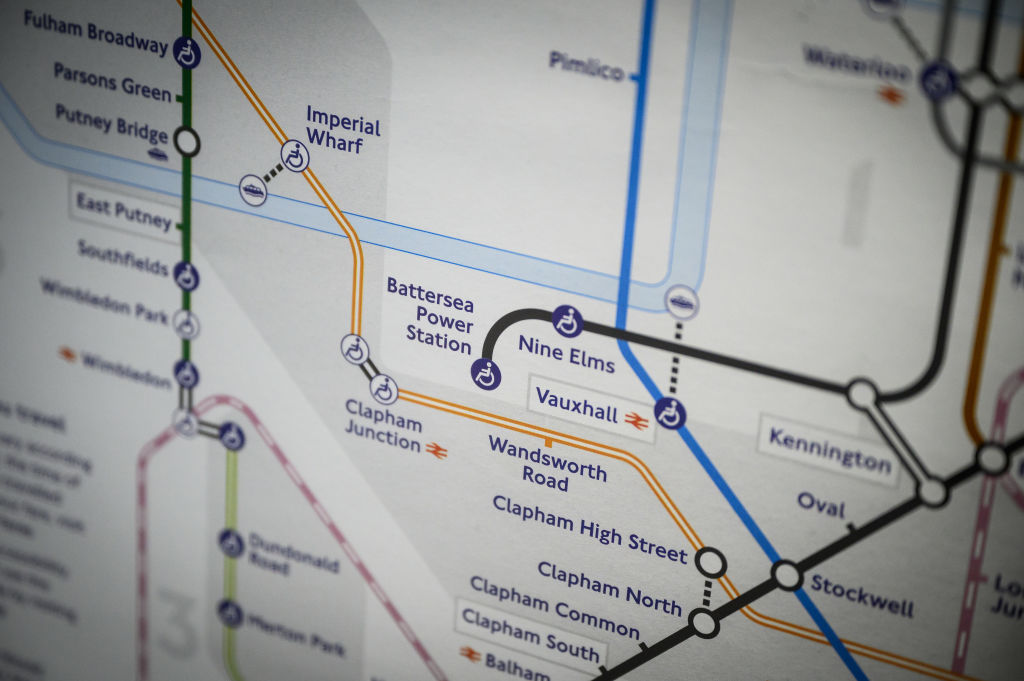
London’s Tube map is being celebrated in a new exhibition that traces the evolution of its much-loved design that has inspired transport network guides around the world.
Displayed at London Underground stations, in trains and on passenger leaflets, the Tube map has remained a popular way to plan journeys around the capital even in the age of smartphones.
In a 2006 BBC poll Britons voted the Tube map their second favourite British design of the 20th century after the Concorde jet, and beating the Spitfire fighter plane, the World Wide Web and the red telephone box.
Starting on Friday, the “Mapping the Tube: 1863-2023” exhibition at The Map House, in London, will display and sell rare Tube maps and posters, including a manuscript of Harry Beck’s 1933 version, which has a price tag of 75,000 pounds ($96,900).
Beck’s design changed how transport networks were imagined worldwide, transforming a diagram of squiggly lines overlaid on geographical maps into straight lines that allowed passengers to figure out quickly how to get from station to station.
“His concept was that when a passenger was underground, it didn’t matter to them where they were above ground, as long as they ended up at the station they were trying to get to,” exhibition curator Charles Robert said.
“His design is continued and copied and developed by almost every other transport network around the world,” he said. “His influence is as wide-ranging as any other designer of the 20th century.”
However, deeming it too radical, the capital’s transport authorities rejected Beck’s no-nonsense design at first, only adopting it after a hit trial run.
The technical draughtsman was barely recognised during his own lifetime, although Tube maps today do credit his design.
The exhibition – which coincides with the 50th anniversary of Beck’s death – runs until Nov. 30.
(Reuters)


