The Bhopal Centre of India Meteorological Department (IMD) has issued an alert warning of intense rainfall, thunderstorms, and lightning in several districts of Madhya Pradesh.
Several districts, including Dhar, Ujjain and Sheopur, have been flagged and expected to bear the brunt of the monsoon surge.
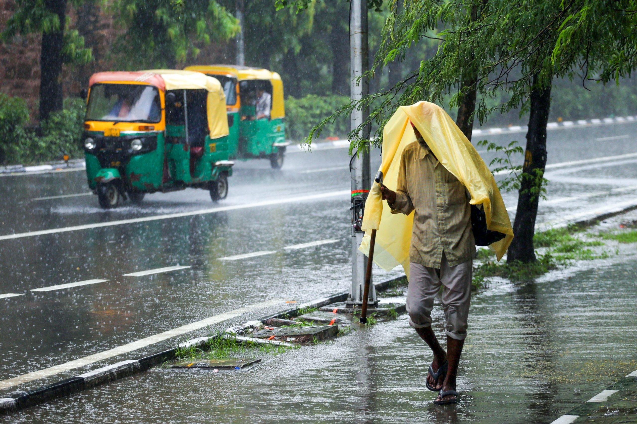
These regions are likely to see torrential downpours accompanied by frequent lightning strikes and gusty winds, posing risks of waterlogging and localised flooding.
Heavy rainfall is also forecast for Rajgarh, Alirajpur, Jhabua, Indore, Ratlam, Dewas, Shajapur, Agar, Mandsaur, Neemuch, Guna, Ashoknagar, Shivpuri, Gwalior, Datia, Bhind, Morena, Singrauli, Anuppur, Dindori, Mandla, and Balaghat. These districts may experience intense spells of rain interspersed with thunder and lightning, especially during the afternoon and evening hours.
On Friday, an orange alert has been issued for Sheopur, Neemuch, and Mandsaur, where very heavy rainfall is expected to reach up to 8.5 inches within 24 hours.
A yellow alert has also been sounded for several other districts, including Gwalior, Morena, Bhind, Datia, Niwari, Shivpuri, Guna, Ashoknagar, Rajgarh, Ratlam, Agar-Malwa, Anuppur, Dindori, Mandla, and Balaghat, all of which are likely to receive substantial showers.
Light rain is forecast to persist across the remaining parts of the state.
On Thursday, rainfall was recorded in 26 districts, including Bhopal, and similar conditions are expected to prevail over the next four days, keeping much of the state soaked and on alert.
Meanwhile, a broader swath of the state — including Bhopal, Vidisha, Raisen, Sehore, Narmadapuram, Betul, Harda, Burhanpur, Khandwa, Khargone, Barwani, Sidhi, Rewa, Mauganj, Satna, Shahdol, Umaria, Katni, Jabalpur, Narsinghpur, Chhindwara, Seoni, Panna, Damoh, Sagar, Chhatarpur, Tikamgarh, Niwari, Maihar, and Pandhurna — is expected to see scattered thunderstorms and lightning activity.
Rainfall in these areas may range from light drizzles to moderate showers, with occasional bursts of thunder.
The meteorological dynamics behind this surge are complex and active. The monsoon trough currently stretches from Jaisalmer through Kota, Datia, Sidhi, Ranchi, and Bankura, extending southeastward into the Bay of Bengal.
This trough is situated about 1.5 kilometres above mean sea level and is fuelling widespread instability. An offshore trough along the Gujarat-Maharashtra coast continues to feed moisture into the system, while upper air cyclonic circulations over northwest Madhya Pradesh, north Odisha, Gangetic West Bengal, and the Kutch region are intensifying the rainfall pattern.
With most districts under weather alerts, residents are advised to remain indoors during lightning activity, avoid travel through flooded roads, and stay tuned to official updates. The current conditions are expected to persist for the next few days, with rainfall intensity varying across regions but remaining widespread.
(IANS)