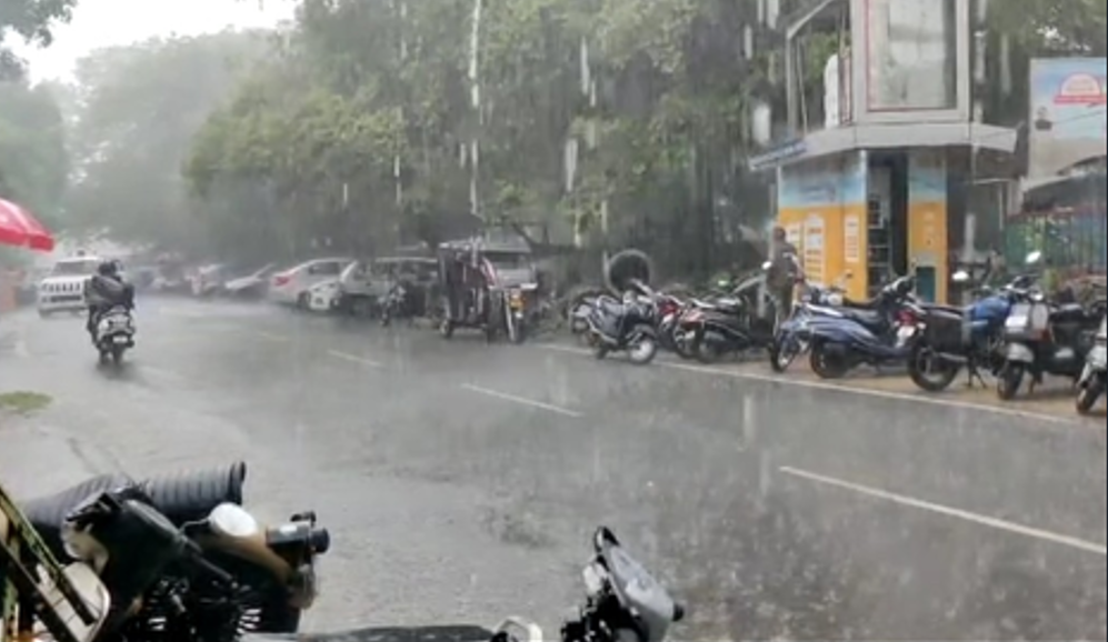
Even as the monsoon retreats from western parts of the country, with the southwest monsoon withdrawing from parts of Rajasthan as well as some regions of Gujarat, Punjab and Haryana, according to the India Meteorological Department (IMD), heavy to very heavy rainfall is expected to continue over Uttarakhand, eastern Uttar Pradesh, Bihar, sub-Himalayan West Bengal and Sikkim for the next two days.
The IMD warned that these regions could receive 12–20 cm of rain at isolated places, with Uttarakhand expected to see intense precipitation on Tuesday and eastern Uttar Pradesh, Bihar, sub-Himalayan West Bengal and Sikkim likely to experience it on September 16 and 17.
In the past 24 hours, extremely heavy rainfall (over 21 cm) was recorded at isolated places in Uttarakhand and Meghalaya. Very heavy rainfall was reported from eastern Uttar Pradesh, Himachal Pradesh, Odisha, Bihar, sub-Himalayan West Bengal, Marathwada, Tamil Nadu and Rayalaseema. Several other regions, including coastal Andhra Pradesh, Chhattisgarh, Andaman and Nicobar Islands, Gangetic West Bengal, Madhya Pradesh, Vidarbha, Sikkim, Assam, Manipur, Arunachal Pradesh, Telangana and parts of Maharashtra, also reported heavy showers.
Meanwhile, Delhi-NCR is likely to see mainly clear skies turning partly cloudy by afternoon on Tuesday, with maximum temperatures ranging from 34°C to 36°C – up to two degrees above normal. Winds will initially blow from the northwest at speeds of 10-15 kmph before shifting to the southeast by evening.
For the next three days, the national capital is expected to remain partly cloudy, with temperatures ranging between 33°C and 35°C during the day and 23°C to 25°C at night. Winds are expected to shift between southeast and northeast directions with speeds gradually decreasing towards the evenings.
Authorities have urged residents in flood-prone and hilly areas of Uttarakhand, Bihar and eastern Uttar Pradesh to remain alert for possible flooding and landslides as the heavy rainfall spell continues.