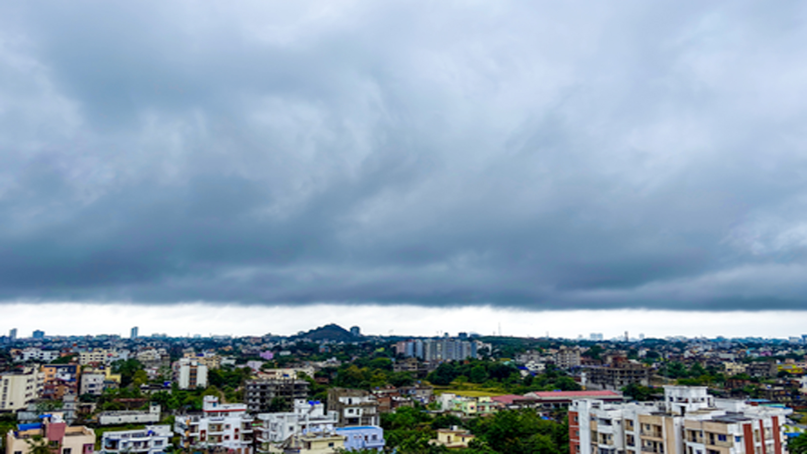
The India Meteorological Department (IMD) on Friday issued an orange alert for north Tamil Nadu, Puducherry and adjoining south Andhra Pradesh coasts as Cyclonic Storm Ditwah continued to move north-northwestward over coastal Sri Lanka and the adjoining southwest Bay of Bengal.
According to the IMD, the cyclone is expected to emerge into the southwest Bay of Bengal and approach the North Tamil Nadu–Puducherry–south Andhra Pradesh coasts by the early hours of November 30. The system, moving at around 10 kmph, was centred near latitude 8.1°N and longitude 81.2°E early Friday, about 560 km south-southeast of Chennai and 460 km south-southeast of Puducherry.
On Thursday, isolated rainfall occurred over Tamil Nadu with heavier spells in the southern districts. Thunderstorms and lightning were reported at one or two locations.
Rainfall intensity is expected to increase over the next few days:
November 28: Light to moderate rain at many places in South Tamil Nadu and at a few places in the north. Extremely heavy rainfall is likely in Nagapattinam, Thanjavur, Tiruvarur and Pudukkottai. Heavy to very heavy rain is expected in Ramanathapuram, Sivaganga, Tiruchirappalli, Mayiladuthurai and Ariyalur, as well as in Karaikal.
November 29: Widespread rainfall across Tamil Nadu, with very heavy to extremely heavy spells likely in Tiruvarur, Nagapattinam, Mayiladuthurai, Cuddalore, Villupuram, Chengalpattu, Puducherry and Karaikal. Heavy to very heavy rain may occur in Thanjavur, Ariyalur, Perambalur, Kallakurichi, Tiruvannamalai, Vellore, Kancheepuram, Tiruvallur and Chennai.
November 30: Light to moderate rain in northern Tamil Nadu, Puducherry and Karaikal. Heavy to very heavy rain is likely in Tiruvallur, Chennai, Chengalpattu, Kancheepuram and Ranipet.
December 1: Light to moderate rain at isolated places in Tamil Nadu, Puducherry and Karaikal.
Strong Winds Expected; Fishermen Advised to Stay Ashore
Coastal Tamil Nadu, Puducherry and Karaikal recorded winds of 35–45 kmph on November 27. Wind speeds are forecast to increase significantly:
* Gulf of Mannar and Comorin Area: Gale winds reaching 70–90 kmph between November 28 and 30, with gusts up to 100 kmph.
* North TN–Puducherry Coast: Squally winds of 50–60 kmph gusting to 70 kmph will strengthen to 70–90 kmph between November 29 and 30.
* South TN Coast: Winds of 55–75 kmph will increase to 60–80 kmph between November 29 and 30.
* Southwest and West-Central Bay of Bengal: Gale winds of 70–100 kmph are likely between November 29 and 30.
* South Andhra Pradesh Coast: Winds of 35–45 kmph will increase to 60–80 kmph from November 29 to December 1.
The IMD has strictly warned fishermen not to venture into the southwest Bay of Bengal, the Gulf of Mannar, the Comorin area, or the Tamil Nadu–Puducherry coast until December 1.
Several parts of Thoothukudi remained waterlogged on Friday following continuous widespread rains over the past few days. Fresh rainfall around 5 am worsened the situation, leaving roads and residential areas submerged.
Residents reported difficulties in commuting, lack of access for ambulances and rising cases of fever. Locals alleged slow response from authorities and demanded better drainage, road facilities and drinking water supply.
On November 26, Tamil Nadu Minister Geetha Jeevan inspected waterlogged areas across the district. The Regional Meteorological Centre (RMC), Chennai, said the Northeast monsoon has been vigorous in Tamil Nadu since November 24.
IMD defines heavy rain as rainfall between 64.5 mm and 115.5 mm, very heavy rain as rainfall between 115.6 mm and 204.4 mm, and extremely heavy rain as rainfall exceeding 204.4 mm.
The low-pressure area over the southwest Bay of Bengal and adjoining South Sri Lanka region has intensified into a well-marked low-pressure area and is expected to strengthen further as it moves north-northwestwards.
Authorities across Tamil Nadu, Puducherry and south Andhra Pradesh have been advised to remain on alert as rainfall and wind conditions are likely to intensify through the weekend.
(With ANI inputs)