India is transforming its highways from physical roads into intelligent, data-driven corridors that integrate transport with technology. These networks now combine real-time communication, smart tolling, and digital management to make travel faster, safer, and more efficient.
The Ministry of Road Transport and Highways (MoRTH) is driving this shift by redesigning the country’s highways as platforms for technology, sustainability, and governance — turning every kilometre into a node of connectivity and control rather than just a stretch of asphalt.
Expanding Network Demands Smarter Systems
India’s road network spans more than 63 lakh kilometres, the second largest in the world as of March 2025. The National Highway network has grown by around 60% in a decade — from 91,287 kilometres in 2013–14 to 1,46,204 kilometres in 2025.
With rapid expansion has come the need for better monitoring and management. The government has introduced digital tools across every phase of highway development — from planning and design to tolling and maintenance — to improve transparency, reduce delays, and modernize operations.
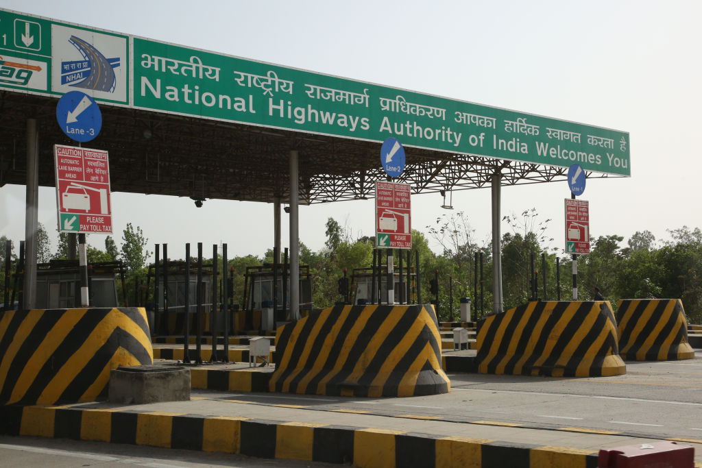
Electronic Tolling Reshapes Highway Payments
India’s toll system is shifting toward cashless and automated operations. The National Electronic Toll Collection (NETC) system, developed by the National Payments Corporation of India (NPCI), underpins the country’s electronic tolling framework.
At the centre is FASTag, an RFID-based tag that allows vehicles to pass through toll plazas without stopping. With about 98% penetration and more than 8 crore users, it has become the default mode of toll payment nationwide.
In August 2025, the government introduced the FASTag Annual Pass, offering a year’s travel or 200 crossings for ₹3,000. More than 25 lakh users signed up within two months, completing 5.67 crore transactions across 1,150 toll plazas.
To discourage cash transactions, new fee rules taking effect on November 15, 2025, double the charge for cash users and increase tolls by 25% for those paying via UPI. The move is aimed at cutting congestion and ensuring smoother payment flows.
India’s first Multi-Lane Free Flow (MLFF) tolling system — launched in Gujarat’s Choryasi Plaza — uses cameras and RFID sensors to record toll data while vehicles remain in motion, reducing fuel use and emissions.
Technology Steps for Better Travel Management
The Rajmargyatra mobile application is adding a digital layer to highway travel. It provides live updates on routes, tolls, fuel stations, hospitals, charging points, and weather, along with a complaint feature that lets users upload geo-tagged photos of maintenance issues or hazards.
Integrated with FASTag and supporting multiple languages, the app includes voice assistance and safety alerts. It has gained over 15 lakh downloads, ranked 23rd overall and 2nd in the travel category on the Google Play Store.
Streamlining Oversight with NHAI One
To improve coordination among project teams, the National Highways Authority of India (NHAI) launched NHAI One, a single platform that brings together five core operational areas — attendance, maintenance, audits, sanitation, and construction monitoring.
Officials and field engineers can share real-time, geo-tagged data, reducing reporting gaps and improving accountability. The app aims to make project tracking more transparent and reduce delays in approvals and maintenance.
Mapping Roads with Data and Precision
The PM Gati Shakti National Master Plan (NMP) serves as India’s central digital planning tool for infrastructure. Built on a GIS-based system, it hosts over 550 layers of live data, covering logistics, land use, and environmental zones.
The Ministry of Road Transport and Highways has uploaded and verified the entire 1.46 lakh km national highway network on the platform, allowing planners to visualise alignments and coordinate with other sectors for faster project execution.
Smarter Corridors, Safer Highways
India is expanding the use of Intelligent Transport Systems (ITS) that monitor and manage traffic in real time. Through Advanced Traffic Management Systems (ATMS), these technologies are now operational on expressways such as Delhi–Meerut and Bengaluru–Mysuru.
The Bengaluru–Mysuru Expressway has seen a marked drop in accident fatalities since ATMS was introduced in mid-2024. Network Survey Vehicles (NSVs) fitted with 3D lasers and 360° cameras are also being deployed across 23 states to scan more than 20,000 km of highways and identify surface defects automatically.
Sustainability Becomes a Central Focus
Under the Green Highways Mission, the NHAI planted more than 1.2 crore saplings in 2023–25, taking the total to over 4.69 crore since 2015. The initiative aims to curb pollution, stabilise soil, and support rural employment.
As part of Mission Amrit Sarovar, 467 water bodies have been developed for conservation, yielding both ecological and economic benefits — including ₹16,690 crore in soil reuse savings.
In 2023–24 alone, 631 lakh metric tonnes of recycled materials such as fly ash, plastic waste, and reclaimed asphalt were used in construction, reflecting a shift toward sustainable and circular practices.
India’s highways are steadily turning into connected ecosystems — combining physical mobility with digital intelligence. From electronic tolling and smart traffic systems to real-time monitoring and green initiatives, the country’s transport infrastructure is being reshaped by data and technology.
The goal now is not only to build more roads, but to build roads that think, communicate, and sustain — driving a more efficient and future-ready transport network.