







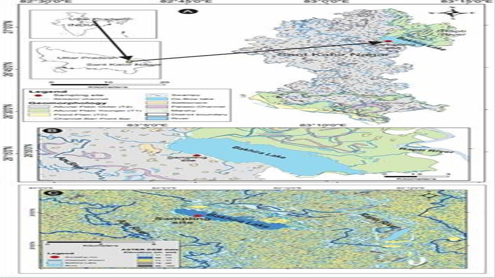
Sediments preserved beneath Bakhira Lake in Uttar Pradesh’s Sant Kabir Nagar district have provided a 25,000-year record of changes in the Indian Summer Monsoon, offering new insights that could help improve climate models, predict future monsoon behaviour and strengthen water-resource management in the Central Ganga Plain.
A study by researchers from the Birbal Sahni Institute of Palaeosciences (BSIP), an autonomous institute under the Department of Science and Technology (DST), has used environmental magnetic properties preserved in lake sediments to reconstruct variations in monsoon activity from the Last Glacial Maximum to the present.
The Central Ganga Plain is one of the regions most strongly influenced by the Indian Summer Monsoon and is also a major agricultural area. However, long-term, high-resolution palaeoclimate records from the region remain limited, with earlier studies largely relying on biological indicators or focusing on the Holocene period.
The researchers – Nazakat Ali, Sajid Ali, Biswajeet Thakur and Anupam Sharma – investigated whether environmental magnetic properties in Bakhira Lake sediments could provide a continuous record of monsoon variability extending beyond the Holocene.
Bakhira Lake forms part of the Ghaghara-Rapti alluvial system and is a perennial oxbow/floodplain wetland created through the migration and eventual cut-off of the Rapti River. One of Uttar Pradesh’s largest wetlands, it was designated a Ramsar Site in 2022.
Its floodplain-lacustrine setting allows sediments from both the lake and surrounding catchment to accumulate and remain preserved. This makes the sediment record sensitive to changes in monsoon-driven runoff, sediment transport and weathering.
The sediment sequence studied by the researchers extends back approximately 25,000 years and is supported by seven accelerator mass spectrometry (AMS) radiocarbon dates, providing a comparatively well-dated terrestrial archive for studying climatic and environmental changes during the Late Quaternary period.
The team combined environmental magnetic measurements with grain-size, geochemical and clay-mineralogical records to reconstruct changes in the Indian Summer Monsoon. Variations in the magnetic properties of sediments can reflect changes in hydrology, erosion, sediment input and soil-forming processes, allowing scientists to trace past environmental conditions.
The reconstruction captures several major climatic phases, including the Last Glacial Maximum, approximately 25.3–18.1 thousand calibrated years before present, when cold and dry conditions were accompanied by a weakened monsoon.
It also records the Bølling–Allerød period, around 15.3–12.8 thousand calibrated years before present, which was relatively warm and humid and associated with stronger monsoon activity. This was followed by the Younger Dryas, approximately 12.8–11.1 thousand years ago, marked by renewed cooling, drying and weakened monsoon conditions.
The study further identifies the Holocene Climatic Optimum, roughly 9.2–4 thousand years ago, when warmer and wetter conditions prevailed, accompanied by enhanced monsoon rainfall and increased soil-forming activity. The researchers also identified relatively dry conditions and reduced monsoon strength during the late Holocene, approximately 4–2 thousand years ago.
By combining the seven AMS radiocarbon dates with multiple environmental magnetic indicators and previously published sedimentological and geochemical data from the same core, the researchers developed a long-term reconstruction of Indian Summer Monsoon variability.
The findings, published in Palaeogeography, Palaeoclimatology, Palaeoecology, provide evidence of how the monsoon responded to natural climate changes long before the availability of instrumental records. Such palaeoclimate records can help scientists distinguish long-term natural climate variability from more recent changes associated with human activity.
The researchers said the findings could provide a valuable baseline for improving climate models and assessing how river and lake systems may respond to changing rainfall patterns. The information could also support planning for water-resource management, agriculture, flood and drought mitigation, and wetland and environmental conservation across the Ganga Plain, where millions of people depend heavily on monsoon rainfall.


