





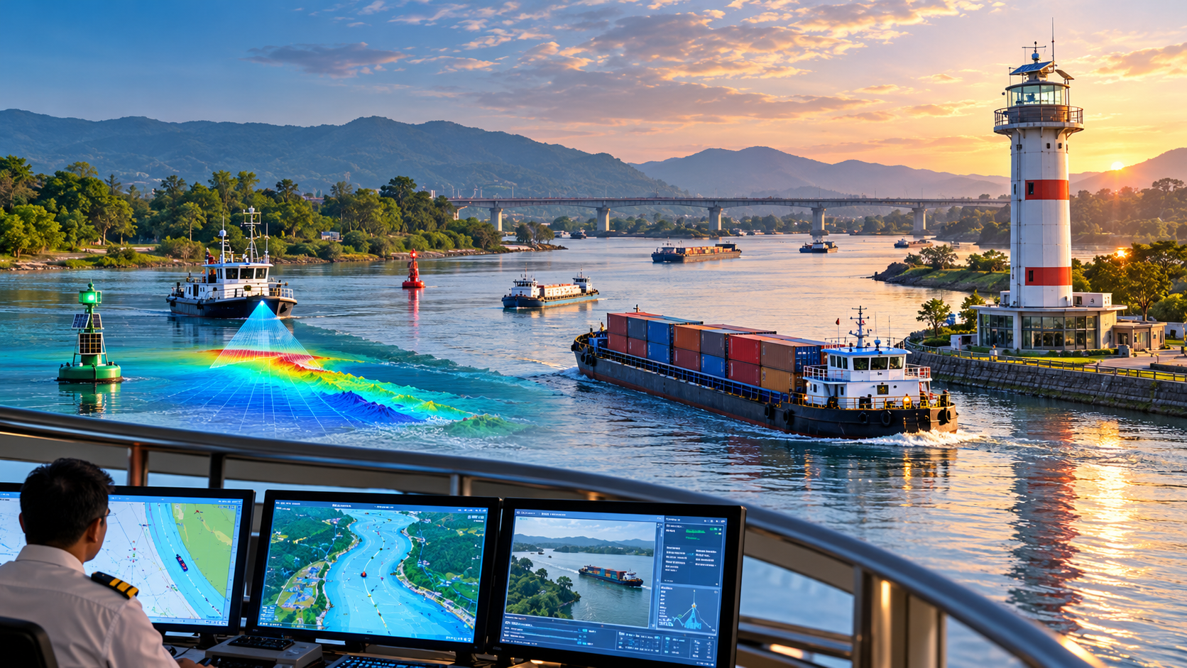
India is strengthening its inland waterway network through hydrographic surveys, modern navigation infrastructure and digital information systems as cargo movement on rivers continues to grow. From real-time vessel tracking to the development of the country’s first riverine lighthouses on the Brahmaputra, these initiatives aim to improve navigation safety, operational efficiency and connectivity across the country.
Inland waterways are emerging as an important component of India’s transport network, offering a cost-efficient and relatively cleaner mode of freight transportation. Moving one tonne of freight by water costs approximately one-third of road transport and half of rail transport, while generating a fraction of the carbon emissions, according to the Ministry of Ports, Shipping and Waterways.
India has 111 National Waterways, extending across 20,187 kilometres in 23 States and four Union Territories. Of these, 32 are currently operational.
The growth in freight movement reflects the increasing use of this transport network. Cargo movement on inland waterways rose from 29 million metric tonnes in 2014–15 to 218 million metric tonnes in 2025–26, registering a compound annual growth rate of 20.13 per cent. The volume has also surpassed the 200-million-tonne target set under Maritime India Vision 2030.
With rising traffic, maintaining navigable channels and ensuring the safe movement of vessels have become increasingly important.
Hydrographic surveys: Mapping river conditions
Rivers are constantly changing, with water levels, sediment deposits and riverbed formations varying across seasons and stretches. These changes can affect the depth of navigation channels and the routes available to vessels.
Hydrographic surveys help assess these conditions by measuring water depths, riverbed profiles, shoals, flow characteristics and changes in river morphology. The Inland Waterways Authority of India (IWAI) conducts these surveys across National Waterways to support navigation planning, dredging and the development of transport infrastructure.
Thalweg surveys identify and monitor the deepest navigable channel along a river stretch, while terminal and jetty surveys assess water depths and approach conditions near loading and unloading facilities.
As of September 2026, regular thalweg surveys covered 22 National Waterways. Depending on the requirements of individual waterways, surveys are conducted weekly, fortnightly or monthly. The monitoring system also covers the Indian portion of the Indo-Bangladesh Protocol route, which facilitates cargo movement between India and Bangladesh through designated river channels.
An important outcome of these surveys is the determination of Least Available Depth (LAD), which indicates the minimum water depth available in a navigation channel during a specified period.
LAD is a critical parameter for vessel operations because it influences permissible vessel draft, cargo-carrying capacity, route scheduling and seasonal navigation decisions. Accurate depth information helps operators plan journeys according to prevailing river conditions.
Navigation aids improve safety
Apart from understanding river conditions, vessels require reliable systems to identify navigable channels, mark hazards and navigate safely in varying weather and visibility conditions.
These systems are known as Aids to Navigation (AtoN) and are recognised under the Marine Aids to Navigation Act, 2021. They include buoys, channel markers, radar beacons, lighthouse structures and other devices designed to support safe and efficient navigation.
The Directorate General of Lighthouses and Lightships is responsible for the development, maintenance and management of general aids to navigation along India’s coastline. The IWAI maintains navigation aids across inland waterways according to the requirements of individual routes.
National Waterway-3 in Kerala provides an example of this infrastructure. The West Coast Canal system connects Kottapuram to Kollam and includes the Champakkara and Udyogamandal canals. The entire navigable stretch is equipped with aids to navigation to support round-the-clock vessel movement.
The waterway has 312 solar-powered lighted fibreglass-reinforced plastic (FRP) buoys and 17 beacon lamp posts.
Brahmaputra to get India’s first riverine lighthouses
A major development in inland navigation came in March 2026, when India announced its first four riverine lighthouses on the Brahmaputra, designated as National Waterway-2.
The lighthouses are being established at Pandu, Bogibeel, Silghat and Biswanath Ghat under a project costing ₹74 crore.
Designed to strengthen navigational guidance and monitoring, the structures will rise 20 metres above ground and have a geographical range of 14 nautical miles. Their luminous range will extend between eight and ten nautical miles, helping vessels navigate during night-time operations.
The facilities will be powered entirely by solar energy and equipped with weather-observation sensors to provide additional information relevant to navigation and safety.
The project also includes public amenities such as museums, amphitheatres, cafeterias, landscaped spaces, children’s play areas and souvenir shops.
National Waterway-2 extends for 891 kilometres between Dhubri and Sadiya in Assam, making it the longest navigable stretch of any Indian waterway. It supports the movement of cargo, passengers and tourists and serves supply chains associated with tea, coal and fertiliser.
Cargo movement on the Brahmaputra waterway increased from 0.90 million metric tonnes in 2024–25 to 1.29 million metric tonnes in 2025–26.
The riverine lighthouses are intended to strengthen navigation support along this increasingly important transport corridor, combining safety infrastructure with tourism-oriented development.
Digital platforms bring navigation information together
Digital technology is adding another layer of support to inland waterway operations by making information on river depth, routes, infrastructure, weather and vessel movement more accessible.
Electronic Navigational Charts (ENCs) translate hydrographic survey data into digital charts that help mariners plan and conduct journeys. As of September 2026, such charts had been prepared for 18 operational and tidal waterways and uploaded to platforms including the Portal for Asset and Navigation Information (PANI) and the IWAI Vessel Tracker.
Before 2014, this facility was available only on National Waterway-1, the Ganga-Bhagirathi-Hooghly river system between Haldia and Prayagraj.
PANI provides information on National Waterways and associated infrastructure, including fairways, terminals, cross-river structures, jetty connectivity and emergency services.
Together, PANI and the IWAI Vessel Tracker provide web- and mobile-based navigation information, including real-time vessel tracking, updated routes and water-depth details.
Another initiative, Naudarshika, the National River Traffic and Navigation System, was launched in 2025 to support safe, efficient and sustainable vessel movement. It incorporates real-time Least Available Depth information to assist navigation and complements existing digital platforms such as PANI and the Least Available Depth Information System (LADIS).
River Information Services support traffic management
River Information Services (RIS) integrate vessel-tracking technologies, weather and water sensors, communication systems and information technology to improve the exchange of information between vessel operators and control centres.
On National Waterway-1, RIS has been implemented across three stretches of the Ganga: Haldia–Farakka, Farakka–Patna and Patna–Varanasi.
The network comprises four control stations and 13 base stations and incorporates Automatic Identification System (AIS) equipment, Very High Frequency (VHF) communication and meteorological sensors. RIS consoles have also been provided on 30 departmental vessels.
These systems help authorities monitor vessel movement, share navigation-related information and take operational decisions based on prevailing conditions.
Towards safer and more efficient inland navigation
India’s inland waterway development combines physical infrastructure with hydrographic knowledge and digital information systems. Surveys help establish the navigable depth of rivers, aids to navigation guide vessels along channels, and digital platforms provide information needed for route planning and traffic management.
As cargo movement expands, these measures are intended to make navigation more predictable, improve safety and support more efficient freight transportation.
The integration of surveys, navigation infrastructure and real-time information is central to building a safer and smarter inland waterway network across India.
-PIB


