





India has backed a United Nations General Assembly resolution promoting the use of equal-area world map projections, while making it clear that the resolution does not endorse any specific map or alter India’s position on its sovereign territory and boundaries.
The UN General Assembly adopted the resolution, titled “Correct the Map: Rebalancing Global Cartographic Representation and Promoting Equitable Representation of the World’s Regions, Particularly Africa,” on September 4.
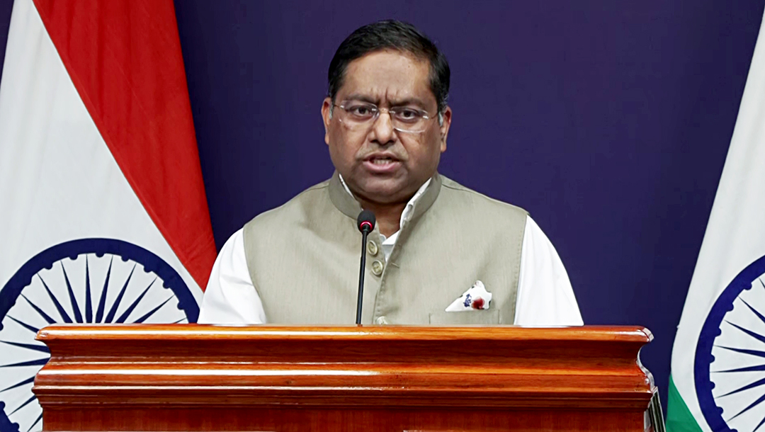
Responding to media queries, Ministry of External Affairs (MEA) spokesperson Randhir Jaiswal said the resolution seeks to encourage the use of equal-area map projections that preserve the relative sizes of continental landmasses.
Jaiswal clarified that the resolution neither adopts nor authenticates any particular world map. It also does not deal with political cartography, including international boundaries, disputed territories or place names.
India voted in favour of the resolution and, in its explanation of vote, stressed the underlying principle of promoting equal-area cartographic representation.
At the same time, India underlined that the resolution should not be interpreted as an endorsement of any particular map, projection or depiction of national boundaries.
Jaiswal said India’s sovereign territory, including the Union Territories of Jammu and Kashmir and Ladakh, must be depicted in accordance with India’s official map. He added that any inaccurate or misleading depiction of India’s territory is unacceptable.
India’s position on its sovereignty and territorial integrity remains “clear, consistent and non-negotiable”, the MEA spokesperson said.


